Mile markers are a piece of history by Debbie Harris
Blue Markers
Let’s talk about markers.
As Australia uses the metric system, the Tumbarumba to Rosewood Rail Trail is a total of 21km from start to finish each way, so a 42km round trip.
(By the way did you know there is a marathon happening along the rail trail soon? More information can be found here Hume and Hovell Ultra).
These blue markers are placed at every kilometre along the trail, together with the latitude/location, making it easy for emergency service personnel to find you if needed. This one indicates it’s 19km to Rosewood.

Above: 19km marker heading to Rosewood
Keeping history alive
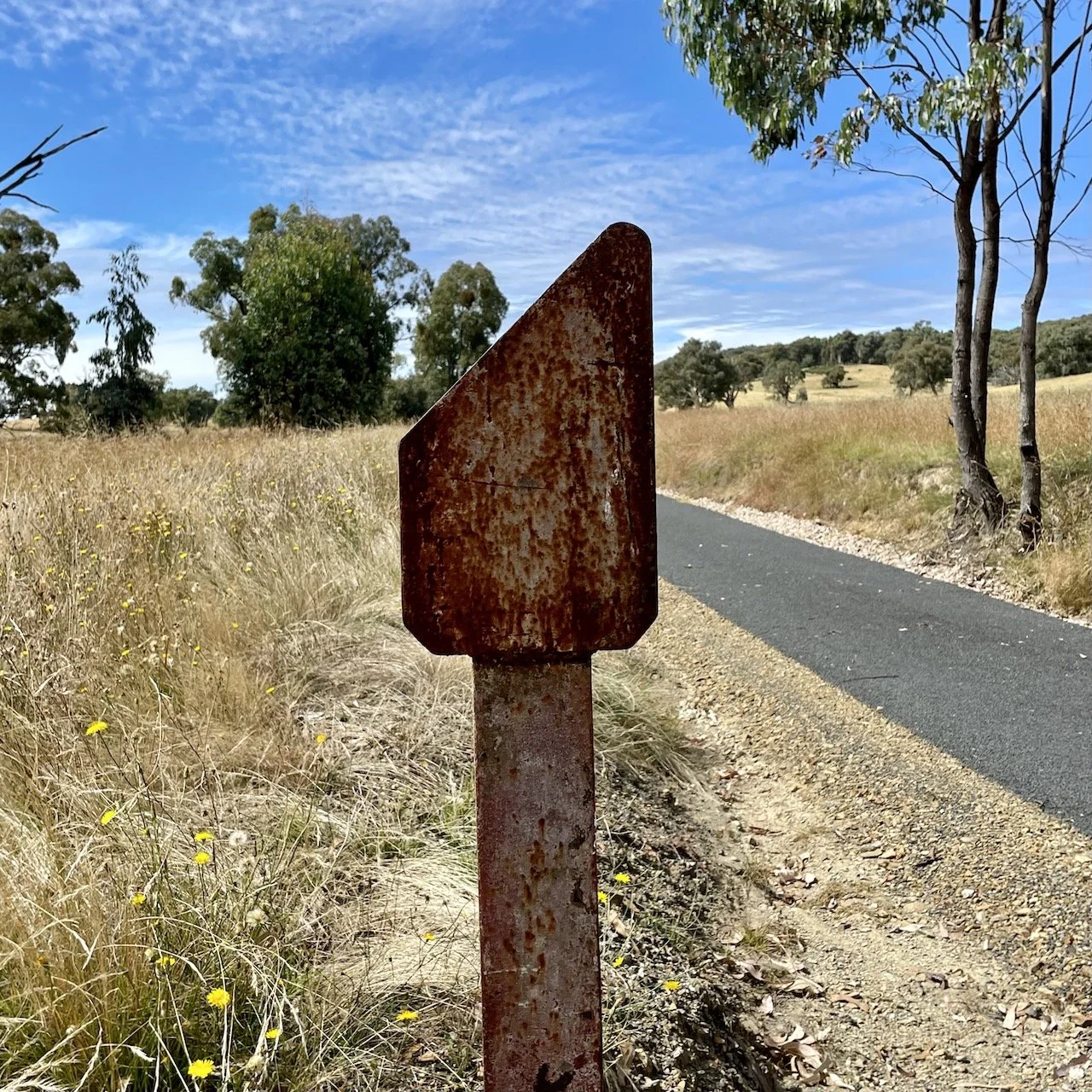
When the rail trail was constructed it was important to leave as much of the historical infrastructure in situ, and so it was that the ‘mile marker pegs’, measuring the distance from Sydney, were left in place.
Some have been refurbished by the local men’s Shed group and others are in their natural state. In those days Australia used the imperial system so miles it was.

Above: Mile marker indicating it’s 399 miles from Sydney – this has been refurbished by the Men’s Shed and is located at Glenroy siding.
These markers were standard across the NSW rail system.

Above: Quarter mile marker on rail trail

Above: Half mile marker on rail trail

Above: Three quarter mile marker on rail trail
It’s interesting to note that opponents of the rail trail use the loss of rail history as an argument against rail trails. But to my mind this is preserving the history, as without the rail trail being built, these signs would be covered under weeds and blackberries and wouldn’t have seen the light of day ever again! Or they’d be in someone’s private collection.
Thanks to Debs-world.com for this information in her recent post and used with permission.
Hope to see you out on the trail one day soon.